
TechSoup is retiring the NetSquared program, best known as our global network of in-person #Tech4Good meetups. But we aren't sunsetting this community — TechSoup will continue to serve our members with grassroots-led workshops through the new TechSoup Connect program.
What Is TechSoup Connect?
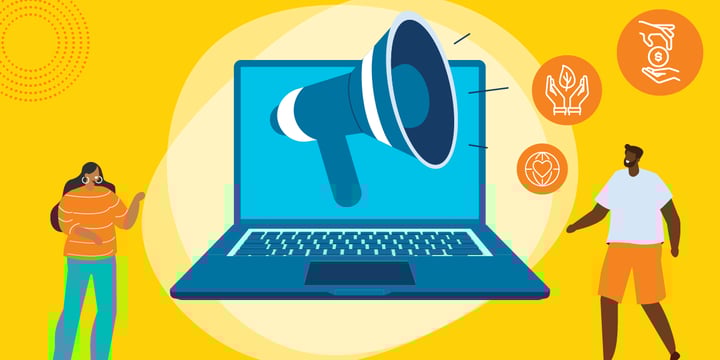
TechSoup Connect is the next evolution of NetSquared. It's a network of volunteer-led chapters that offer free online and in-person tech-for-good events that bring nonprofits, tech for good enthusiasts, and advocates together. We help people and organizations build communities, share resources, and discover new opportunities for social impact. The major difference between NetSquared and TechSoup Connect is that we can also support online events. Now, anyone can join one of our free online workshops or brainstorming sessions from anywhere in the world.
What Can You Expect at TechSoup Events?
You can find these things at TechSoup events:
- A friendly, welcoming atmosphere, no matter your level of tech expertise
- Help from technology experts passionate about helping nonprofits like yours
- A community that invites you to forge lasting relationships with people who build and use technology for good

NetSquared's Impact: A Look Back
Sixteen years ago, TechSoup created the NetSquared program to help nonprofits "remix the web for social change" and help nonprofits explore the possibilities of a then-new "web 2.0." Over time, the program grew from a community blog to include conferences, hackathons, and app developer challenges, as documented in Jim Lynch's classic NetSquared in the Beginning and later blog posts. However, NetSquared was best known for our meetups.
The reach of these meetups was enormous: 1,353 volunteers hosted 7,581 events with 115,745 attendees registered.
But NetSquared was more than a list of numbers. Each event offered hands-on help to nonprofit staffers eager to use technology to scale their impact.
NetSquared served as an incubator for both TechSoup and the tech-for-good community to explore new ideas and approaches. The ranks of NetSquared hosts include sector luminaries, sector influencers, and merging leaders who grew their network and shared their skills.
NetSquared Challenges helped app developers create innovative solutions for civil society. NetSquared provided early publicity, support, collaboration opportunities, and funding for now-famous tech-for-good organizations such as Ushahidi, FrontlineSMS, and The Extraordinaries.
Please join me in celebrating the impact of NetSquared and the amazing work of our meetup hosts who did so much to support nonprofits across the digital divide. We're so grateful for everyone's contributions, and many of them have joined the new TechSoup Connect program so that they can continue to offer networking and educational opportunities for nonprofits.
TechSoup Connect strives to be even more aligned than ever with TechSoup's mission of enabling nonprofits and social change agents around the world to gain access to the tools and skills they need to do more good. With our new ability to offer online events, we're ensuring that all nonprofits everywhere have a friendly and accessible community that will support them to use technology for good.
So what are you waiting for? We'll see you at the next TechSoup Connect event!
Additional Resources
- Ask and get answers in the TechSoup Community Forums.
- Check out upcoming webinars and Ask the Expert events.
Top photo: Shutterstock